
Roof Inspections
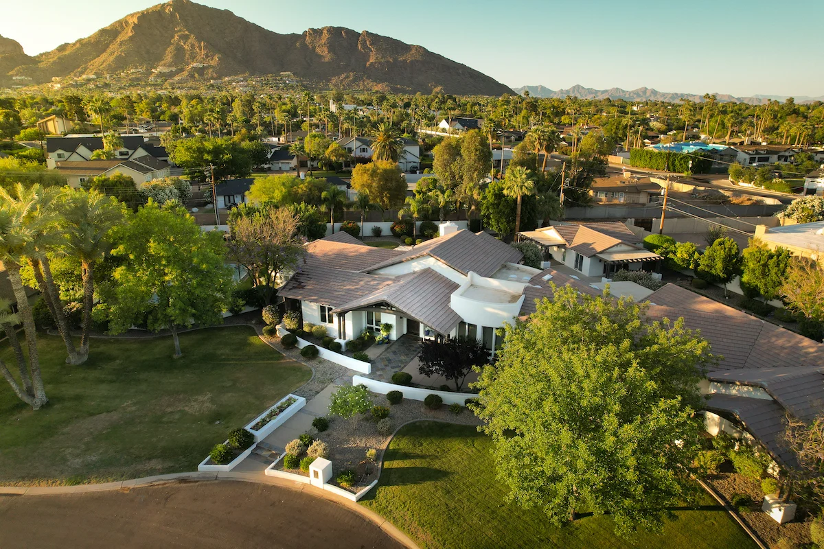
Precision Mapping for Elevated Property Insight in North Scottsdale
Explore real-world drone projects, insights, and the impact aerial data makes on every job.
12 Jan 2025
Overview
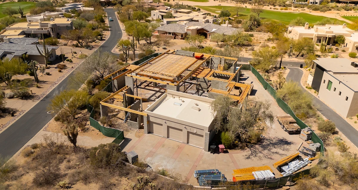
This drone mapping mission focused on a residential property in North Scottsdale undergoing inspection and landscape planning. While the primary goal was a detailed roof inspection, the combination of high-resolution orthomosaic and DSM provided more value than expected — revealing subtle elevation variations that could influence drainage and landscaping decisions.
Deliverables
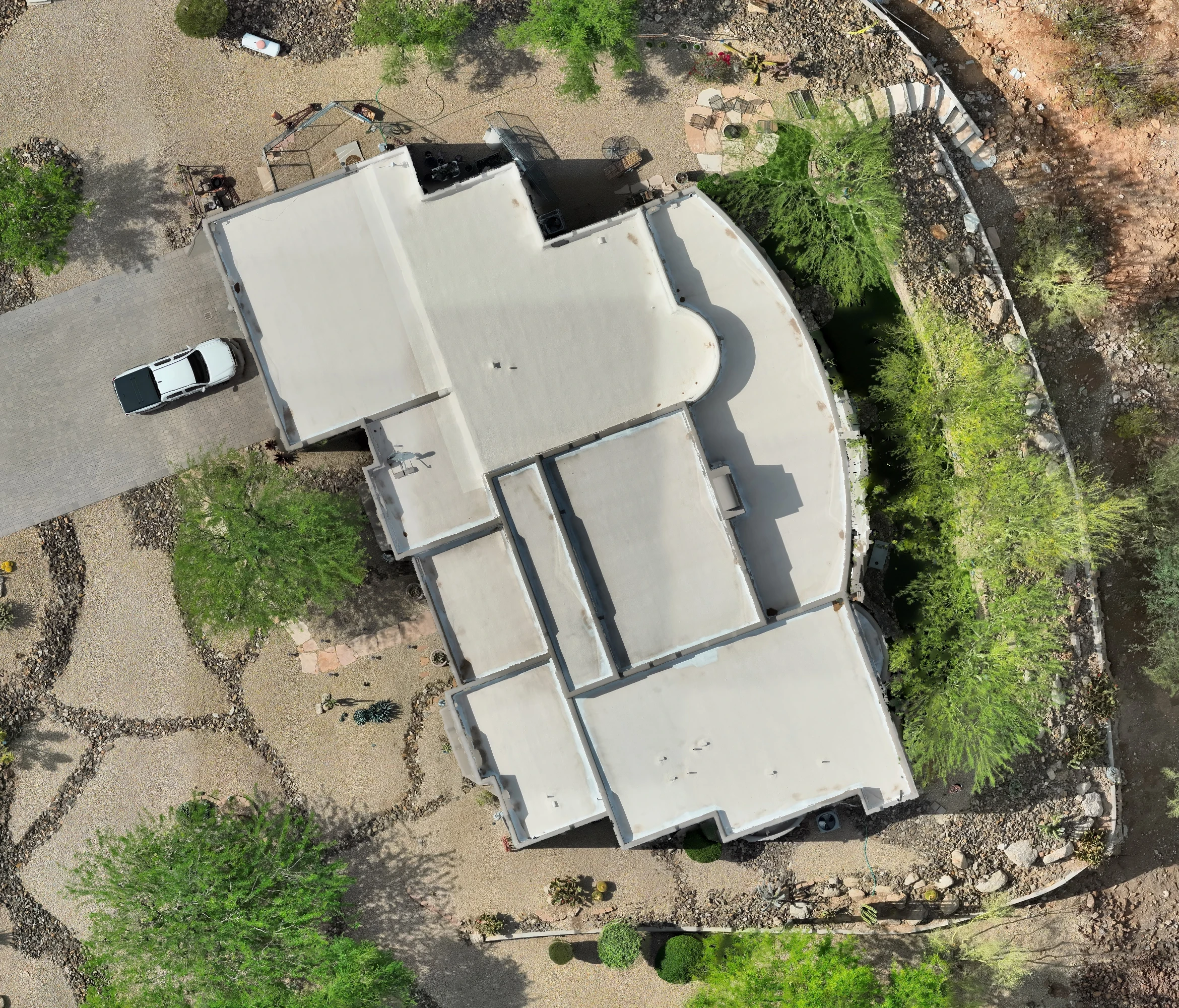
Ultra-detailed orthomosaic of the property and rooftop
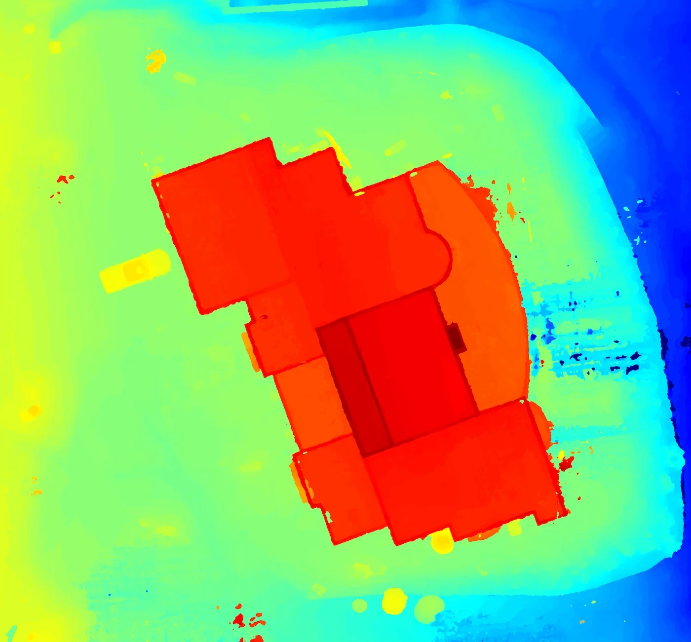
Digital surface model (DSM) with elevation gradient
Image deliverables for planning and documentation
Client walk-through and annotated elevation insights
Key Takeaways
1. Surface Drainage Risk Identified
The DSM revealed a gentle slope directing runoff toward the garage entry — a potential future flooding or pooling issue during heavy rains. This insight allowed the client to proactively adjust their landscape grade before final grading and irrigation were installed.
2. High-Resolution Roof Analysis
The orthomosaic offered clear rooftop visuals, ideal for checking HVAC placement, scuppers, membrane wear, and structural symmetry. It gave the roofer a top-down snapshot without needing ladders or walking the roof.
3. Planning Support for Hardscape Design
Landscape designers used the orthomosaic to outline stone paths and garden walls digitally, streamlining layout approvals and client revisions without multiple on-site visits.
Why It Matters
Beyond roof inspections, drone mapping gave this client clarity over how their home sits in its environment — from runoff to rooftop layout. The visuals supported faster decisions and fewer surprises down the line.
From 2D Insight to 3D Understanding
While the orthomosaic provided a high-resolution overview and the DSM revealed subtle elevation changes, we also generated a fully interactive 3D model of the property. This helped with visual planning, slope interpretation, and client presentations — allowing stakeholders to explore the site from any angle, without ever needing to step on site.
Visualizes slope and drainage
Enhances planning for remodels or landscaping
Useful for remote collaboration and updates
More from the portfolio

Precision Drone Data. Delivered Fast.
Accurate aerials and insights when you need them.