Drone Mapping
Precision Mapping for Property Planning
Explore real-world drone projects, insights, and the impact aerial data makes on every job.
23 Mar 2025
A Clearer View for Smarter Planning
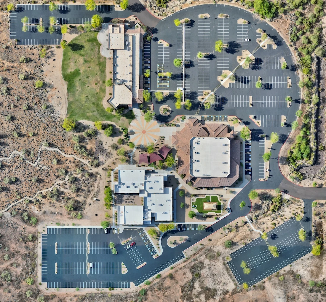
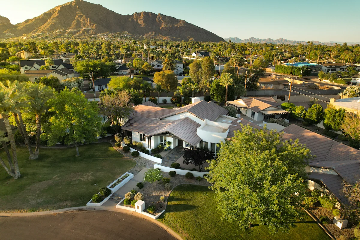
Desert View Bible Church needed an accurate, high-resolution overview of their property — something satellite imagery just couldn’t deliver. Whether for maintenance planning, parking lot evaluation, or upcoming upgrades, they turned to drone mapping to get a better perspective.
Beyond the Satellite
Even with relatively recent satellite views, the detail wasn’t there. Trees, shadows, and image compression made it hard to see fine features. Our orthomosaic provided an ultra-clear, top-down view of the entire site, stitched from dozens of precision-aligned aerial photos.
Visual Documentation That Lasts
Having a current, high-resolution map gives the church a baseline for future landscaping, construction projects, and even insurance documentation. It’s now easier to reference layout specifics without stepping foot on the roof or grounds.
Fast Turnaround, Long-Term Value
The full map was captured, processed, and delivered in under 48 hours — giving their team a flexible asset they can keep using for years. What started as a simple map became a core reference tool for operational planning.
More from the portfolio

Precision Drone Data. Delivered Fast.
Accurate aerials and insights when you need them.