
Drone Mapping
Drone Survey of Alfalfa Field Reveals Problem Area
Explore real-world drone projects, insights, and the impact aerial data makes on every job.
21 Feb 2025
Project Overview
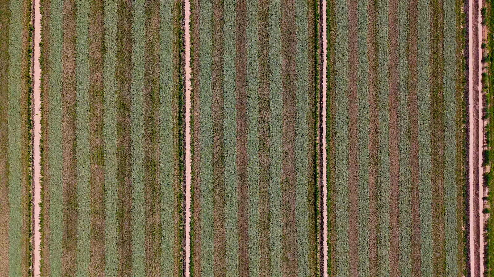
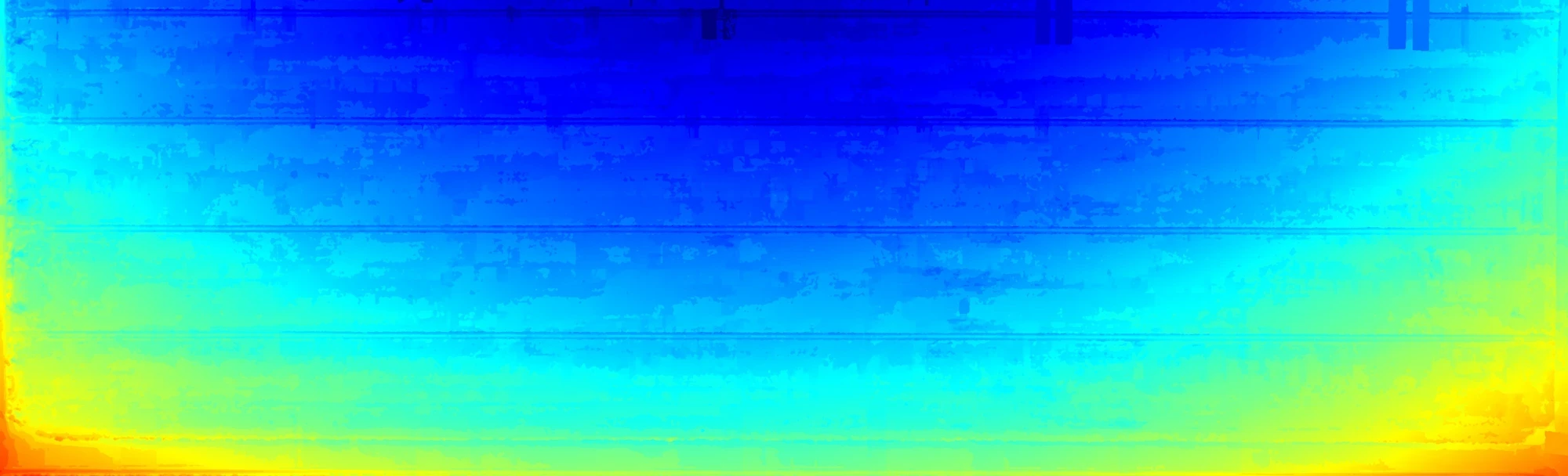
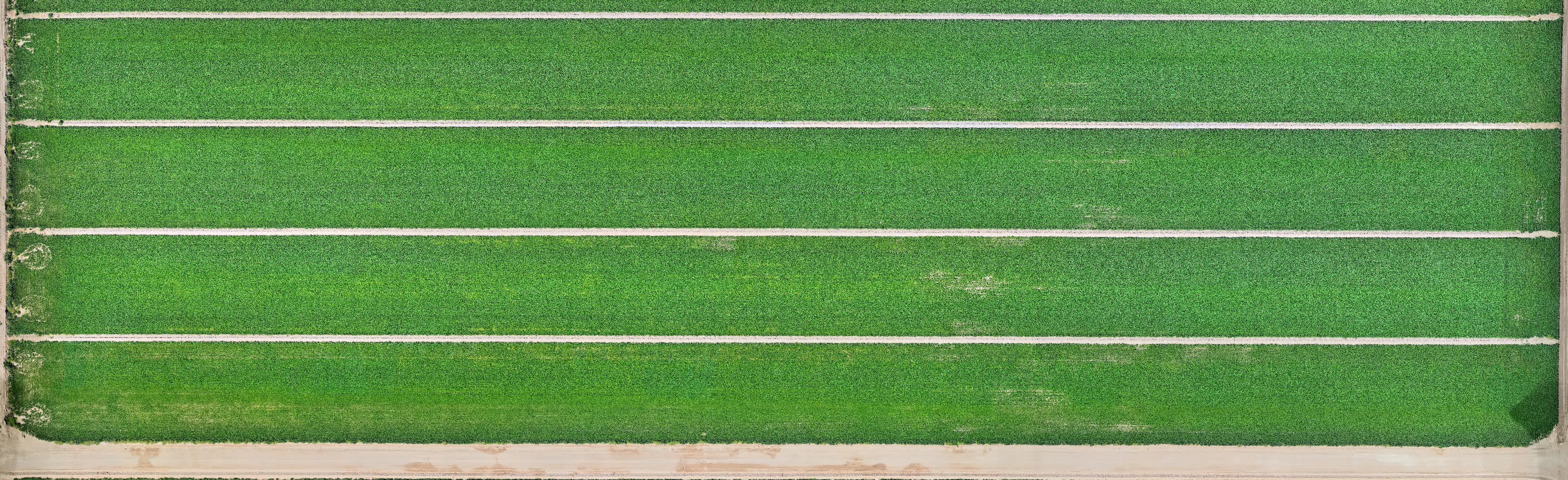
I was hired to create a drone map of an alfalfa field outside Casa Grande — a single pass, simple enough. But what made this project valuable was what the map revealed: an area of the field showing irregular growth and discoloration that wasn’t obvious from the ground. This is where aerial mapping proved its worth.
Client Concern
The client suspected something was off in a specific corner of the field — possibly irrigation-related — and wanted a clear, top-down view to verify it before calling in equipment or making changes.
What the Map Showed
The map revealed a discolored, patchy area in the northwest section of the field — possibly due to an irrigation malfunction or compacted soil. By identifying the exact area affected, the client was able to send workers to the right spot immediately and begin mitigation without wasting time or resources.
Why It Mattered
Instead of walking acres of field or guessing, they now had a precise, visual tool to support faster response and targeted intervention. For agriculture, that kind of clarity saves money, time, and yield.
More from the portfolio

Precision Drone Data. Delivered Fast.
Accurate aerials and insights when you need them.