Phoenix, AZ
Phoenix, AZ
Phoenix, AZ
About Us
Arcoast Drone Services
High-precision aerial data for smarter decisions.
Meet The Founder
Meet The Founder
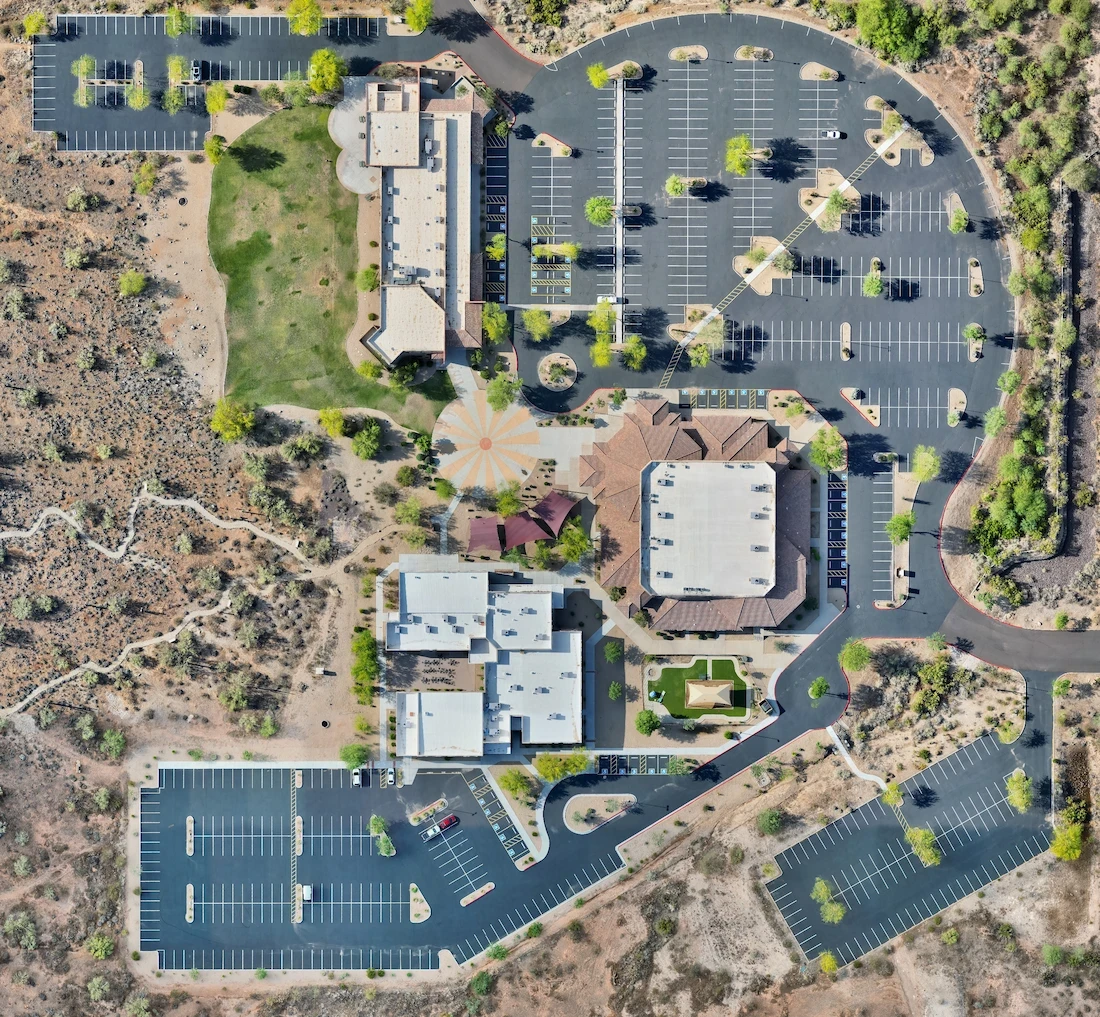
We Are Aerial Data Specialists
Arcoast was founded by FAA-certified drone pilot and data specialist Jason S., who saw the need for clearer, faster, and more reliable aerial data in the field.
With 7+ years of drone flight experience and a background in cybersecurity, Jason launched Arcoast to modernize outdated site workflows with fast, accurate aerial data.
By combining drone mapping, inspections, and high-resolution imagery, Arcoast helps clients get clearer insights, faster turnarounds, and smarter results.
0+
0+
Years Experience
0+
0+
Years Experience
0+
0+
Years Experience
0+
0+
Projects Completed
0+
0+
Projects Completed
0+
0+
Projects Completed
0%
0%
Client Satisfaction
0%
0%
Client Satisfaction
0%
0%
Client Satisfaction

Testimonials
Testimonials
Testimonials
What our clients are saying
We focus on results — but don’t just take our word for it.
The aerial map showed things we never would’ve caught on satellite — it completely changed how we planned the project.

Alex Ramirez, Site Planner
Super clear. Super fast. Our client loved seeing real progress from the air instead of just reading reports.

Mark Elliot, Construction Manager
It’s the best decision we made this quarter — the drone data helped avoid a major miscommunication with our team.

Natalie B., GC Project Lead
We had a quote in hand the same day. No climbing, no back-and-forth. The drone photos made it easy.
Tina Nguyen, Roofing Contractor
We needed thermal visuals of a rooftop array. The drone inspection saved us hours of manual work.

Eric Stone, Solar Tech Lead
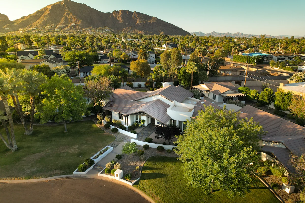
Adding drone photos to our listing helped us stand out. It gave buyers a way better sense of the property.

Jenna Ruiz, Real Estate Agent
They showed up, mapped the land in one flight, and had it processed within 24 hours. Couldn’t have been easier.

Chris M., Developer
Their drone work helped us document everything for insurance after the storm — clean, fast, and accurate.
Jordan Fields, Facility Manager
The aerial map showed things we never would’ve caught on satellite — it completely changed how we planned the project.
Alex Ramirez, Site Planner
Super clear. Super fast. Our client loved seeing real progress from the air instead of just reading reports.
Mark Elliot, Construction Manager
It’s the best decision we made this quarter — the drone data helped avoid a major miscommunication with our team.
Natalie B., GC Project Lead
We had a quote in hand the same day. No climbing, no back-and-forth. The drone photos made it easy.
Tina Nguyen, Roofing Contractor
We needed thermal visuals of a rooftop array. The drone inspection saved us hours of manual work.
Eric Stone, Solar Tech Lead
Adding drone photos to our listing helped us stand out. It gave buyers a way better sense of the property.
Jenna Ruiz, Real Estate Agent
They showed up, mapped the land in one flight, and had it processed within 24 hours. Couldn’t have been easier.
Chris M., Developer
Their drone work helped us document everything for insurance after the storm — clean, fast, and accurate.
Jordan Fields, Facility Manager
Precision Drone Data. Delivered Fast.
Accurate aerials and insights when you need them.